Annapurna trail closures: route status after Nepal rain
Several major Annapurna routes were still closed or awaiting safety clearance in the latest route update reviewed on September 28. The Round Annapurna Circuit, Manang route and Jomsom-Muktinath route were reported closed. Annapurna Base Camp, Mardi Himal, Ghorepani-Poon Hill and Ghandruk were awaiting confirmation that access was safe.

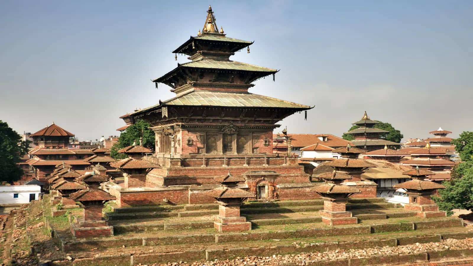
Original editorial image created for OpenSim. It illustrates a cautious trail check after rain and does not depict the current closure or a named checkpoint.
The short answer: Do not start an affected trek because an ACAP permit is available or an operator says the weather looks better. Permit issuance resumed conditionally on September 27, but that did not clear every trail. Ask for a route-specific confirmation dated to your departure day from ACAP, your licensed guide or registered operator, and the authority or checkpoint responsible for the trailhead.
This guide was checked at 6:11 a.m. Nepal time on September 28. Conditions can change after inspection teams assess roads, bridges, slopes and high passes. Follow a closure at the checkpoint even when an app, old post or booking company says the route is open.
Which Annapurna trekking routes are closed?
The latest route report attributed to the Annapurna Conservation Area Project separates confirmed closures from routes that had not yet received safe-access confirmation.
| Route | Latest reported status | What to do now |
|---|---|---|
| Round Annapurna Circuit | Closed | Do not begin the circuit; ask which section is closed before discussing a later departure |
| Manang route | Closed | Hold travel beyond the last officially cleared point and confirm road plus trail access |
| Jomsom-Muktinath | Closed | Do not treat an operating flight or road vehicle as proof that the walking route is open |
| Annapurna Base Camp | Awaiting safe-access confirmation | Delay the trail start until ACAP or the relevant local authority confirms access |
| Mardi Himal | Awaiting safe-access confirmation | Keep the booking flexible and request a same-day trailhead update |
| Ghorepani-Poon Hill | Awaiting safe-access confirmation | Do not rely on the route's lower altitude or shorter duration as evidence of safety |
| Ghandruk | Awaiting safe-access confirmation | Confirm the access road, footpath and local checkpoint separately |
The September 27 route report says further updates would follow once routes were confirmed safe. “Awaiting confirmation” is not the same as open, and it is not necessarily a long-term closure. It means the safe decision is to wait for the next route-specific assessment.
ACAP permits resumed, but a permit is not trail clearance
An earlier temporary permit suspension responded to forecasts of heavy rain and snow. OnlineKhabar reported that permits for the Annapurna, Manaslu and Gaurishankar conservation areas began being issued again at noon on September 27, after assessment of local road and weather conditions.
That creates an easy misunderstanding. A conservation-area permit authorizes entry under the permit rules. It does not promise that every road, bridge, trail or pass inside the area is open at the time you arrive.
Before paying, check the route rather than asking only whether “ACAP is open.” The official NTNC permit support page lists Annapurna Base Camp, Jomsom-Muktinath, the Annapurna Circuit, Mardi Himal, Ghorepani-Poon Hill, Ghandruk and Manang under ACAP, and it provides current phone, WhatsApp, Viber and email contacts. The same page says permits are non-transferable and non-refundable.
If you already bought a permit, do not assume a refund or transfer is available. Ask NTNC and the booking party what can be changed, and keep their response in writing. A tour, guide service, hotel and permit are separate purchases with different terms.
Should you cancel an Annapurna trek or delay the start?
For a departure on September 28, pause until your exact route is cleared. Do not substitute another Annapurna trail from the “awaiting confirmation” list simply because it is shorter.
For a departure later in the week, avoid cancelling from an old headline alone. Ask the operator these questions:
- Which route and trailhead will the group use?
- Who confirmed that route, and when?
- Are the access road, walking trail and high pass all open?
- Is the first night's village reachable without an unofficial detour?
- What happens if ACAP or a local authority keeps the route closed?
- Can the start date move without losing the full booking value?
- Does the insurance policy cover weather closure, delay or evacuation?
A vague reply such as “the season is open” is not enough. Ask for the named route and the time of the last check. If your operator proposes a replacement trek, verify that route independently and confirm whether the existing permit, guide arrangement and insurance still apply.
Why the route status changed so quickly
Nepal's Department of Hydrology and Meteorology warned of heavy rain, snow, flooding and landslide risk during the September 25 to 27 weather window. The September 23 weather report said trekkers should suspend Himalayan travel and those already in the mountains should return to safer, lower ground.
Weather improving in Pokhara does not prove that a high trail is clear. Conditions can differ across a road approach, river crossing, forested slope and high pass. Rain can also stop before a landslide, damaged bridge or saturated slope is inspected.
Use forecasts to decide when to recheck, not to overrule a closure. A clear icon on a general weather app cannot confirm a trail surface, bridge or checkpoint decision.
How to check the Annapurna trail status in the right order
Use sources that can answer for your actual route:
- ACAP or NTNC: ask whether the named trail is cleared and whether any section remains restricted.
- Licensed guide or registered trekking operator: request the source and time of its latest local check.
- Trailhead authority or Tourist Police post: confirm the access road and checkpoint position.
- Weather authority: check the forecast for the district and elevation, not only Kathmandu or Pokhara.
- Transport provider: verify the exact flight, jeep or bus after the route itself is cleared.
The official NTNC support page lists ACAP contacts in Pokhara and permit counters in Kathmandu, Pokhara, Simpani and Ghasa. Nepal's Tourist Police information lists posts in Pokhara, Ghandruk, Birethanti, Chame, Dharapani, Jomsom and Ghorepani. Use those official contacts rather than asking a hotel in another district to certify a remote route.
Save the reply or take a screenshot before leaving reliable Wi-Fi. If an official at the trailhead gives a newer instruction, the newer local instruction controls the decision.
Pokhara, Jomsom and trailhead transport are separate checks
Annapurna trips combine several systems. A flight can operate while a trail is closed. A trail can reopen while its access road remains slow or blocked. A jeep reaching one village does not establish that the next section is walkable.
For a Pokhara start, confirm the journey to the trailhead on the morning of travel. Ask whether the vehicle reaches the normal drop-off point or stops earlier. If the trip involves Jomsom, verify the flight or road transport separately from the Jomsom-Muktinath route status.
Do not accept an improvised river crossing, slope traverse or night journey as a routine detour. A longer route is not a safer route unless the responsible local authority and guide have cleared it.
Keep at least one buffer day before an international flight. Weather disruption can affect both the trek and the return to Kathmandu. Separate tickets and non-refundable onward bookings give you less room to recover.
Guides, altitude and emergency decisions
ACAP urged travelers to use authorized guides amid the flood and landslide risk, according to the September 27 report. Even where a guide is not mandatory for a short route, current conditions make recent local knowledge more important than an old track downloaded from a hiking app.
A guide cannot guarantee that a slope, bridge or pass is safe. The useful questions are whether the person is licensed, whether the operator is registered, how recently the route was checked, and what the turnaround rule is when conditions deteriorate.
Weather closure and altitude illness are different risks. Nepal Tourism Board's mountain-safety guidance says not to go higher when acute mountain sickness symptoms appear and to descend with a companion if symptoms worsen. Reopening a route does not remove the need for acclimatization or a conservative ascent plan.
For help in Nepal, the Ministry of Tourism lists:
- 1144 for the Tourist Police toll-free hotline;
- 100 for Nepal Police; and
- 103 for Traffic Police.
Save your insurer's emergency-assistance number, the operator, guide, accommodation and embassy contacts too. Check whether a policy covers trekking at the planned altitude and whether helicopter evacuation requires pre-authorization.
What to download before leaving Pokhara or Kathmandu
Prepare for weak or absent service. Downloading information is more reliable than assuming a phone will stay connected throughout the trek.
- offline maps for the planned route and retreat path;
- the permit and passport copy required by the operator;
- the most recent route notice and contact list;
- accommodation and guide details;
- weather information for the relevant district and elevation;
- travel-insurance certificate and emergency procedure;
- family or group check-in plan; and
- a written turnaround time for the day.
A phone is not a substitute for a guide, satellite communicator, personal locator beacon or emergency plan where those tools are appropriate. Keep the battery warm and dry, carry an approved power bank, and leave your route with someone who will notice a missed check-in.
Mobile data for an Annapurna trip
Mobile data can help in Kathmandu, Pokhara and connected settlements when you need to check a notice, contact a guide, retrieve a booking or tell family that the itinerary changed. It cannot clear a closed route, and neither Ncell nor Nepal Telecom coverage should be assumed on every trail, valley or high pass.
OpenSim's public catalog was checked on September 28 and returned 14 Nepal plans. One 1 GB plan valid for seven days was listed at USD 3.88 with 3G/4G, Ncell and Nepal Telecom coverage, and top-up support. Package terms vary, and at least one Nepal package did not support top-up, so the selected plan card is the source of truth.
For a Nepal-only trip, compare the current Nepal eSIM. The Asia 20 Areas eSIM can suit a wider itinerary only when Nepal and every other stop appear on the selected plan. The Global 120 Areas eSIM is broader, but broader coverage is not automatically better for one country.
The practical OpenSim advantage here is choice: travelers can compare the country and wider-route options before leaving reliable Wi-Fi instead of depending on a news story, airport Wi-Fi or an unverified plan name. Network access still depends on the selected package, compatible unlocked phone, local infrastructure, terrain and congestion.
Use the travel data calculator to estimate an allowance, then check the eSIM installation timing guide and phone compatibility guide. For broad country planning after this weather event, use Nepal with kids. The separate August Nepal flood update remains the source for Rasuwa, Langtang and Nepal-China border disruption.
Questions travelers are asking about the Annapurna closures
Is Annapurna Base Camp open now?
The latest update reviewed for this guide placed Annapurna Base Camp in the group awaiting confirmation of safe access. Do not start until ACAP or the relevant local authority confirms the route is cleared.
Is the entire Annapurna Circuit closed?
The Round Annapurna Circuit and Manang route were reported closed. Ask which section is affected and do not infer that one accessible town makes the full circuit possible.
Can I still get an ACAP permit?
Permit issuance reportedly resumed conditionally at noon on September 27. That does not mean every ACAP route is open. Check the route before paying because the official permit portal says permits are non-transferable and non-refundable.
Is Jomsom or Muktinath closed to all visitors?
The Jomsom-Muktinath route was reported closed. That route statement does not establish that every flight, road, town or religious visit is closed. Confirm transport and local access separately, and follow any checkpoint restriction.
Should I cancel an October Annapurna trek?
Not from a September 27 headline alone. Ask for a route-specific update close to departure and review the booking and insurance terms. A temporary weather closure does not establish October conditions.
Can I switch to Poon Hill, Mardi Himal or Ghandruk?
Those routes were awaiting safe-access confirmation in the latest update. They should not be treated as automatic alternatives until authorities clear them.
Does better weather mean the trail is open?
No. Rain or snow can stop before roads, bridges, slopes and passes are inspected. Wait for a route-status update rather than relying on a forecast icon.
Do I need a guide for Annapurna now?
ACAP urged travelers to use authorized guides amid the current flood and landslide risk. Rules can vary by route and may change, so confirm the legal requirement with ACAP and use a licensed guide where the route, operator or authority requires one.
Will travel insurance pay if the route stays closed?
That depends on the policy, reason for closure, booking terms and whether the trip started against official advice. Contact the insurer before changing or buying replacement travel and keep the closure evidence.
Can I rely on my phone in an emergency?
No. Mobile service may be weak or absent, and weather can affect infrastructure. Download essential information, carry suitable backup equipment, leave a route plan and use official emergency procedures.
When this Annapurna status guide will change
The route list in this article reflects the most recent ACAP-linked update available when checked early on September 28. It will be updated when authorities materially change the status of the Round Annapurna Circuit, Manang, Jomsom-Muktinath, Annapurna Base Camp, Mardi Himal, Ghorepani-Poon Hill or Ghandruk.
Until then, a conditional permit and a favorable forecast are not enough to begin. The route needs a current, named clearance.